ERBIL, Kurdistan Region of Iraq - Iraq’s agriculture ministry said Friday that it will soon announce the results of an inaugural national study measuring desertification rates in three districts, with plans to expand the assessment nationwide.
Bassam Kanaan, head of the agriculture ministry’s directorate of forests and desertification, told state media that the initial study covers the districts of Nasiriyah in Dhi Qar province, al-Suwaira in Wasit province, and Tal Afar in Nineveh province.
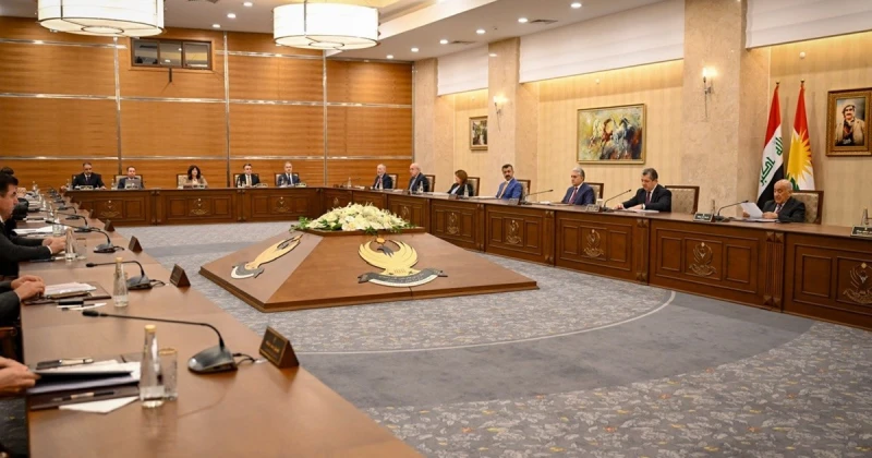
Kanaan said his department adopted a new methodology for calculating desertified and at-risk land, adding that a national committee comprising representatives from the agriculture, water resources, environment, and construction ministries, along with other technical bodies, was formed to develop the assessment plan and calculation mechanisms.
He said the results of the study will be announced “soon,” paving the way for “expanding the work to cover the targeted provinces and then all of Iraq's provinces as resources become available.”
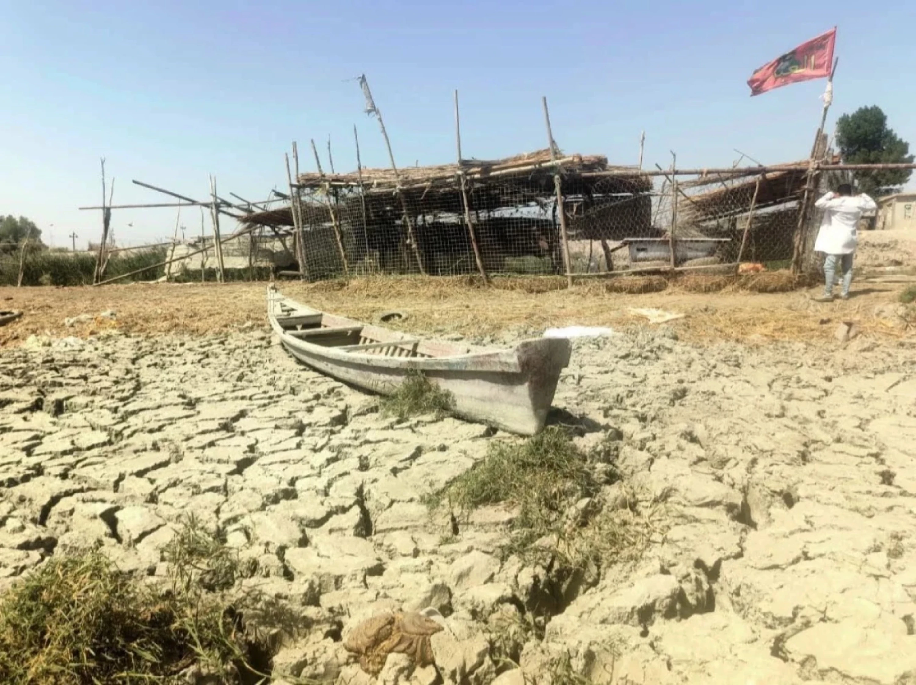
Iraq has witnessed worsening desertification in recent years, particularly in its southern provinces, where large areas of farmland have turned into dry expanses amid rising soil salinity, declining water levels in the Tigris and Euphrates rivers, and increasingly frequent sandstorms.
The country experienced “above-normal” winter rainfall this year, resulting in “the most significant recovery” in national water storage levels in recent years, with reserves rising from 3.5 billion cubic meters to 20 billion cubic meters, according to a United Nations report published in early June.
Despite the improved rainfall and flooding in some provinces helping reduce airborne dust and stabilize the land, the Iraq Green Observatory said in late April that the precipitation was not sufficient “to fundamentally change the situation.”
Kanaan claimed that “no government body or international organization has provided accurate percentages or figures regarding desertification and desertified land in Iraq.”
 Facebook
 LinkedIn
 Telegram
 X
X