
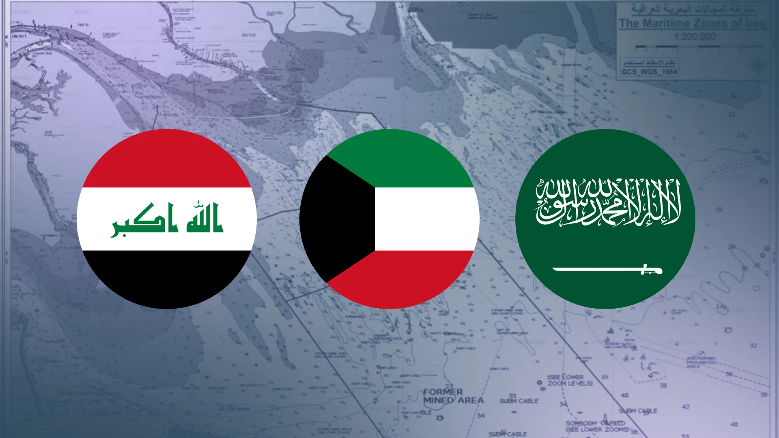
DUBAI, UAE - Iraq’s submission of a map of its maritime zones to the United Nations has drawn formal protests from Kuwait and Saudi Arabia, according to statements issued by the three countries’ foreign ministries.
Iraq’s Foreign Ministry said Saturday that the government had deposited a list of coordinates and a maritime zones map with the United Nations, noting the decision was based on Iraqi laws and official positions related to Iraq’s rights and jurisdiction in maritime areas and in accordance with the 1982 United Nations Convention on the Law of the Sea and the rules of international law.
The ministry said the filing consolidates previous legal procedures into a single document supported by precise geographic coordinates and takes into account developments in international maritime law, including expanded coastal state jurisdiction. It described the delineation of Iraq’s maritime zones as a sovereign matter and reaffirmed Iraq’s commitment to international law.
Later on Sunday, Kuwait’s Foreign Ministry said it had summoned the Iraqi Embassy’s charge d’affaires and delivered a formal protest note.
In a statement, Kuwait said Iraq’s submission to the UN included claims affecting Kuwait’s sovereignty over its maritime areas and fixed maritime features, including Fasht al-Qayd and Fasht al-Aij. Kuwait said it maintains full sovereignty over those areas and that the subject is not up for debate.
Kuwait called on Iraq to act in accordance with international law, the 1982 convention, and bilateral agreements and memoranda of understanding concluded between the two sides.
On Monday, Saudi Arabia’s Foreign Ministry said it was monitoring the coordinates and map submitted by Iraq to the UN and rejected what it described as encroachments on parts of the “submerged divided zone” adjacent to the Saudi-Kuwaiti divided area.
Saudi Arabia said the submerged divided zone is jointly owned by Saudi Arabia and Kuwait in terms of natural resources under agreements consistent with the 1982 convention. It added that the Iraqi coordinates violate Kuwait’s sovereignty over maritime areas and water elevations, including Fasht al-Qayd and Fasht al-Aij.
Riyadh reiterated its rejection of any claims by other parties to rights in the area and called on Iraq to respect Kuwait’s sovereignty and territorial integrity in accordance with international agreements and UN Security Council Resolution 833 of 1993, which demarcated the land and maritime boundaries between Iraq and Kuwait.
On Sunday, Iraqi Foreign Minister Fuad Hussein discussed the issue during a phone call with his Omani counterpart Badr al-Busaidi, according to a statement from Iraq’s Foreign Ministry.
The ministry said Hussein outlined the background of the matter, noting that Kuwait had deposited its maritime maps and baselines with the United Nations in 2014, while Iraq only recently submitted its own map.
He said Iraq supports conducting discussions on clear legal grounds and working to define its baselines in line with internationally recognized standards.
Hussein reaffirmed Iraq’s commitment to international law, relevant UN resolutions and bilateral agreements, and said the government supports resolving issues through negotiations and dialogue, with respect for state sovereignty and noninterference in internal affairs.
After the Gulf War in 1991 and the US invasion in 2003, Kuwait, in accordance with UN Resolution 833 of 1993, extended its control over the port of Khor Adullah, the only direct maritime front for Iraq on the international waters of the Arabian Gulf. The issue resurfaced during a 2023 meeting between Kuwaiti and Iraqi foreign ministers.
The borders were delineated in November 1994, in compliance with the previous regime's adherence to UN Resolution 833 of 1993, and no changes have occurred since 2003.
Iraqi experts argue that UN Security Council Resolution 833 of 1993 deprived Iraq of vast, oil-rich territories and its only naval base in the Gulf, Arabian Gulf Naval Base in Umm Qasr, along with all its associated facilities, due to their inclusion in Kuwait.
 Facebook
 LinkedIn
 Telegram
 X
X